The history of maritime navigation is a remarkable tale of human ingenuity and resilience. Sailors from ancient civilisations ventured into the unknown, equipped only with rudimentary tools and their deep understanding of nature

Map of the world produced in
1689 by Gerard van Schagen.
Here’s how they navigated the seas, often enduring incredible hardships.
Celestial Navigation: A Dance with the Stars
Celestial Navigation: A Dance with the Stars

Celestial navigation was one of the most important techniques used. Sailors observed the positions of celestial bodies sun, moon, and stars to determine their direction and latitude. Tools such as the astrolabe and sextant came much later, but before that, sailors relied on their memory and observational skills.
For example:

- Polynesians used star charts and oral traditions to map the Pacific Ocean. They memorised constellations, their seasonal positions, and the time it took to travel between islands under specific stars.
- Difficulty: Sailing at night to follow the stars was perilous. Cloudy skies or storms often disrupted navigation, leaving sailors at the mercy of the seas. Imagine trying to maintain course for weeks without any visual aids beyond the stars.
2. Wind and Ocean Currents: Reading Nature’s Language
Understanding and utilising wind patterns and ocean currents was vital. Early sailors identified trade winds and currents to make their voyages more efficient.
For instance:
- The Greeks and Romans used the predictable seasonal winds of the Mediterranean, while Arab sailors mastered monsoon winds to trade between the Middle East and India.

- Difficulty: Predicting winds and currents was not always accurate. A sudden change in wind direction or intensity could lead to shipwrecks. Mariners often faced long delays or were forced into dangerous waters when natural forces didn’t cooperate.
3. Dead Reckoning: Calculations and Guesses
Dead reckoning involved estimating the ship’s position by calculating its speed, direction, and distance traveled from a known starting point.

An example of this method in practice:
- Vikings, known for their longship voyages, used sun compasses and relied on dead reckoning during cloudy weather when the sun was obscured.
– Difficulty : Without precise instruments, errors compounded quickly. A wrong calculation could lead sailors hundreds of kilo-meters off course, potentially into hostile territories or treacherous waters.
4. Coastal Navigation: Hugging the Land
Before venturing into the open sea, many sailors practiced coastal navigation. They followed the contours of coastlines, relying on landmarks such as mountains, cliffs, and unique rock formations.
- Example: The Phoenicians, renowned traders of the ancient world, were experts in coastal navigation and rarely strayed far from land during their early voyages.
- Difficulty : Coastal navigation posed its own risks. Unexpected storms could drive ships onto reefs or rocky shores, and straying too close to unfamiliar coasts often meant encountering hostile local populations.
5. Early Ship Designs: Innovations in Hardship
he design of ships evolved to meet the challenges of maritime exploration.
For example
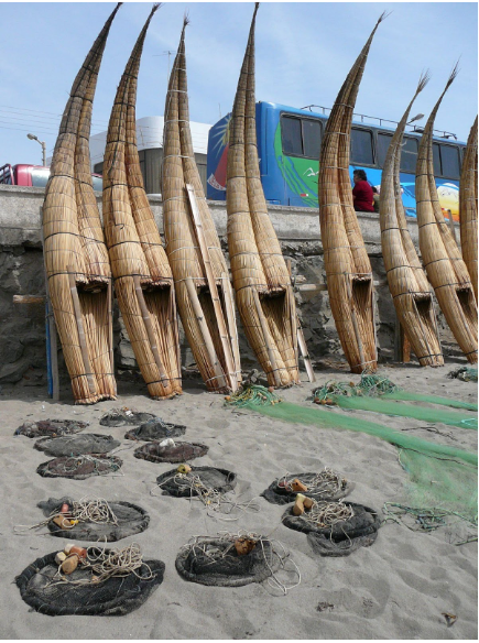
- Egyptians built papyrus reed boats for river navigation but adapted their designs for Mediterranean trade.
- Vikings created longships with shallow drafts, enabling them to navigate both rivers and open seas.
– Difficulty : The materials and construction methods of the time meant that many ships were not sturdy enough to withstand severe storms or rough waters. Ship maintenance was grueling, and a single structural failure could mean disaster.
6. Cultural Exchange: Spreading Knowledge Across the Seas
Mariners often shared techniques and knowledge through trade and exploration. For example:
- The Compass : Invented by the Chinese, it eventually spread to Europe via the Silk Road, revolutionising navigation.

– Difficulty : The adoption of new technologies was often slow, as sailors had to overcome skepticism and adapt the tools to their specific needs.
How Tough Was It?

Navigating the seas in ancient times was nothing short of an epic challenge. Sailors faced:
- Storms : Sudden and violent weather could sink ships or drive them far off course.
- Isolation: Extended voyages meant long periods without communication or external support.
- Limited Provisions : Food and water supplies often ran low, leading to malnutrition and dehydration.
– Mental Strain : The constant uncertainty of navigation, coupled with the physical demands of sailing, took a heavy toll on crews.
Despite these hardships, ancient mariners achieved incredible feats of exploration and trade. Their perseverance and innovative spirit remain an enduring legacy, inspiring modern navigation and maritime techniques.